Explore Ghent’s old and new docks

©VisitGent
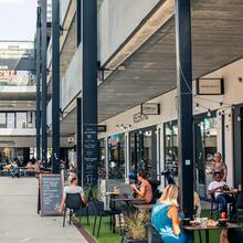
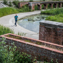
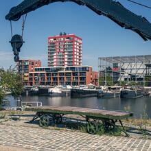
Walk in the former dock area
This walk starts at the bridge over the river Lys on the corner of Kongostraat and Minnemeers, and ends at Schipperskaai. It takes you through the Heilig-Kerst and Oude Dokken neighbourhoods, where you will discover the history of this former dock area by means of remaining buildings and street names that refer to shipping, the harbour and the textile industry.
10 km - 13 400 steps Read more
10 km - 13 400 steps Read more